Read the ocean
before you leave
the dock.

Satellite water intelligence for the Carolina offshore — sea-surface temperature, chlorophyll, currents, weather, and a written daily briefing of where the fish should be.

The demo is live right now — no account, no card. Wrightsville Beach, NC.

CoverageHatteras / Oregon InletMorehead / BeaufortMasonboro / Cape FearSouth / Georgetown

The Offshore Outlook

Briefing · Monday, September 7

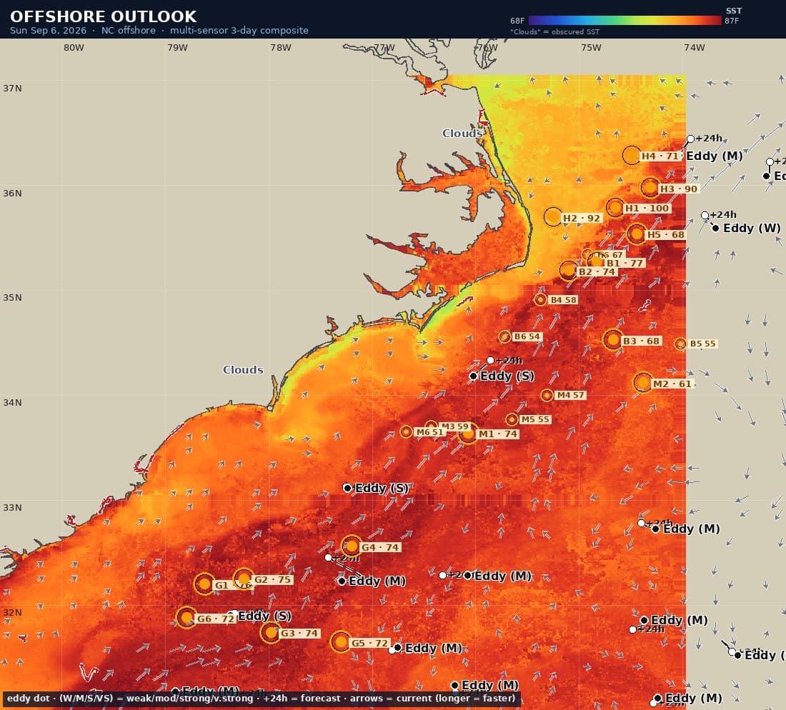
Every morning Bluewater Vision reads the overnight satellite passes and writes the day’s offshore briefing: the Gulf Stream wall, tracked eddies with three-day forecasts, scored convergence hot spots with coordinates, SST, chlorophyll, depth in fathoms, LORAN TDs, ranked target species — and a written discussion for every spot.

Offshore Outlook briefing map: SST raster of the Carolina coast with numbered gold hot-spot markers, labelled eddies, current arrows, cloud mask and legend
The briefing map — SST, numbered hot spots, labelled eddies, current vectors and the morning’s cloud mask.

This morning’s summary

Gulf Stream Blue dominates (100%); 24 convergence spots; 16 tracked eddies w/ 3-day forecast; 88 strong+ temp breaks.

Satellite coverage: 21% from today's satellite passes, 49% gap-filled from yesterday, 30% from 2–3 days back; 18 cloud-gap areas flagged where no clear pass came through in the 3-day window.

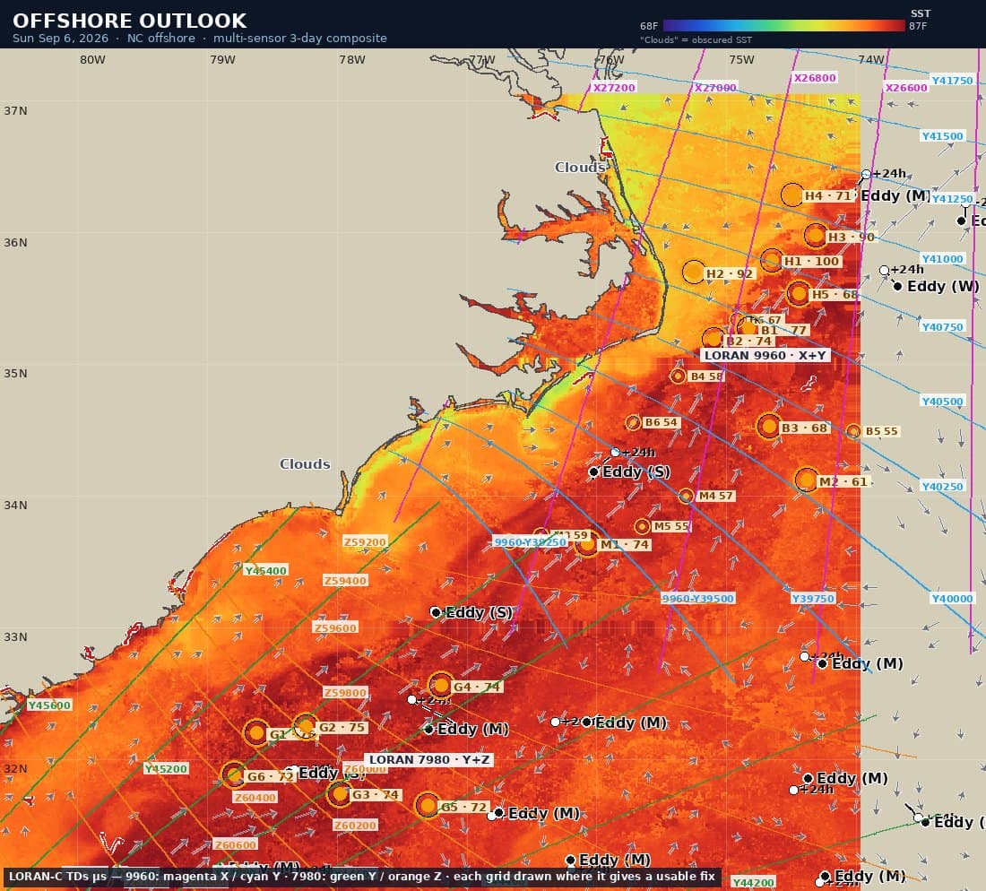
LORAN-TD variant of the briefing map

Every briefing also ships as a LORAN-TD chart for older helms, and as a full written PDF.
Read a sample 8-page briefing →

H135.93°N · 74.52°WHatteras / Oregon InletToday’s top-scored spot

H1 — 35.93°N 74.52°W. A sharp temperature break is stacking on an eddy edge — a prime convergence where the rotating rim pins bait against the thermal edge. The eddy is moderate. Conditions: ~84°F, clean blue water, ~1077 fathoms. Conditions set up best for Blue Marlin, with Sailfish a secondary shot. LORAN 9960: X 26735 / Y 40865 (µs, approx).

~85°F~1077 fathoms
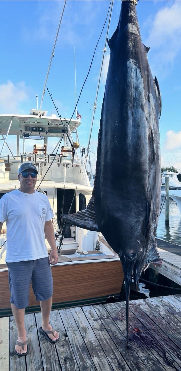
Blue MarlinSailfishWhite Marlin

The point isn’t the app.

It’s fewer dead miles. The thirty seconds before you push the throttles — which way, how far, and why — decided the night before, on real water data instead of last weekend’s rumor.

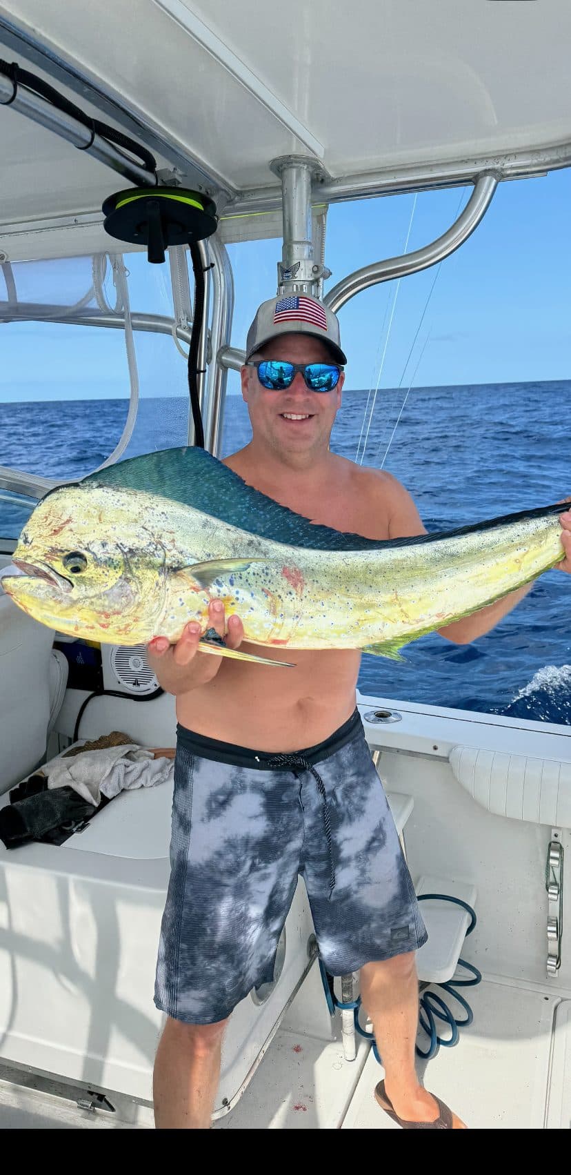
Angler holding a bull mahi on the deck offshore
Off the troll, in the box.
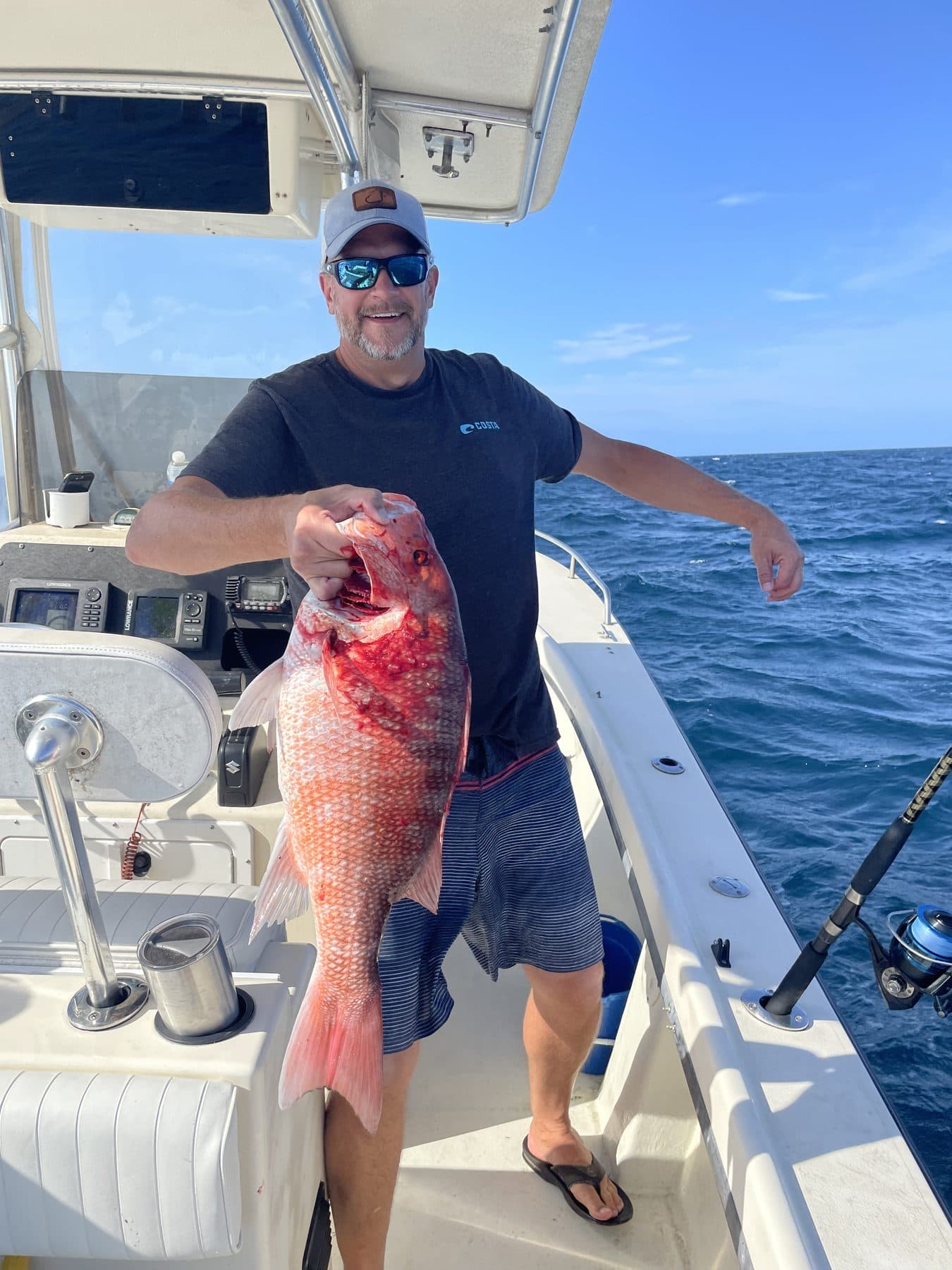
Red snapper held up on deck over blue water
Deck-checked snapper.
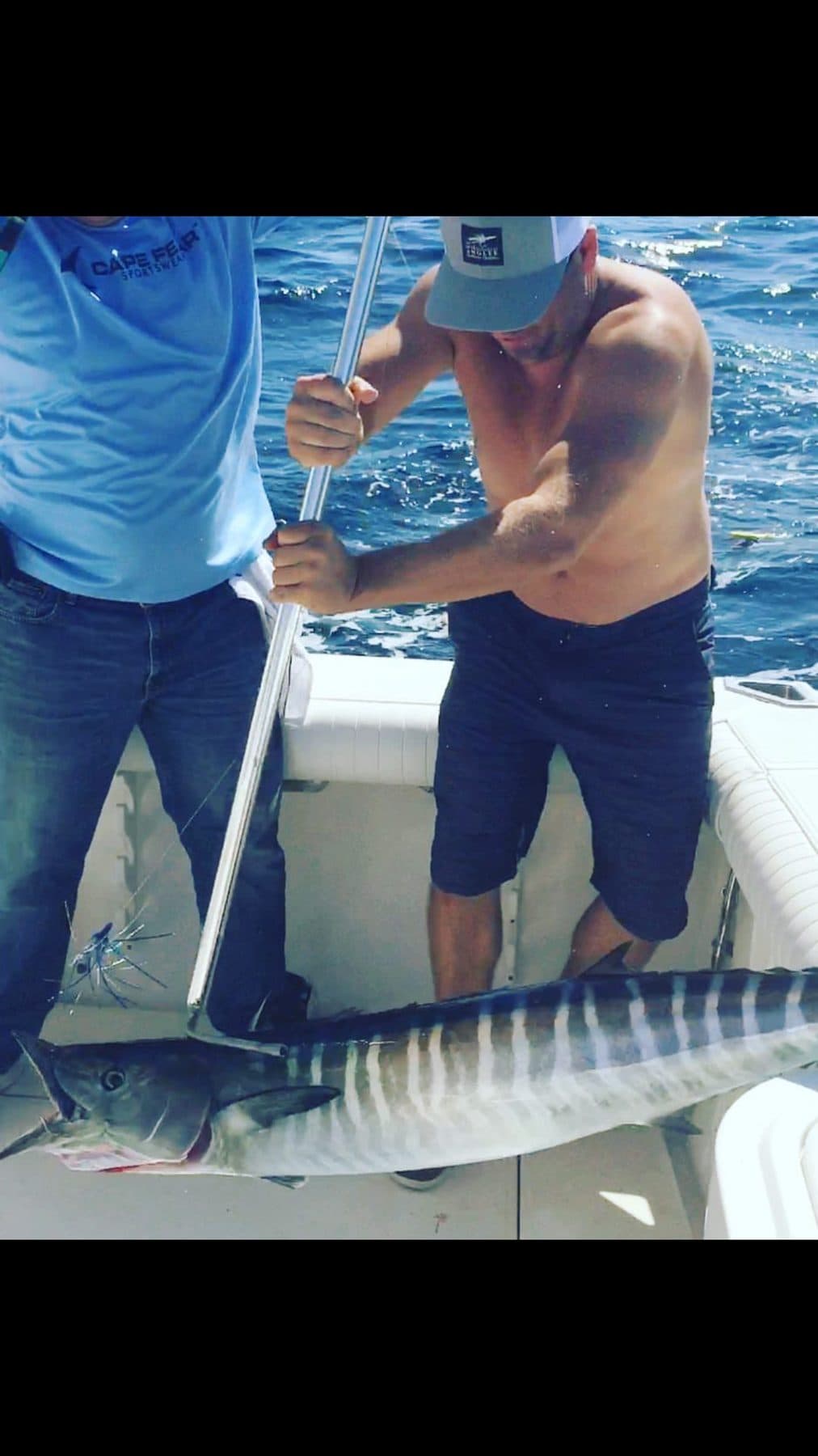
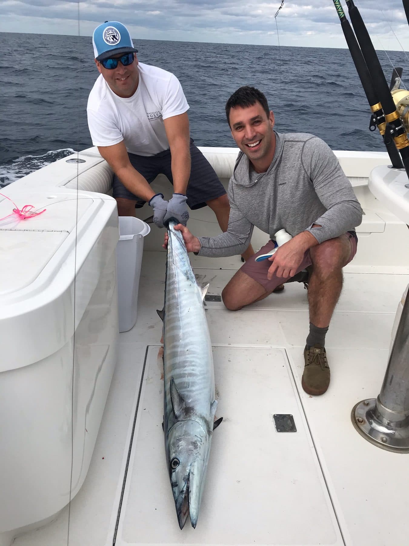
Two anglers on deck with a large wahoo
Wahoo on the deck.

What the map knows

Fresh satellite passes, multiple times a day, drawn straight onto the chart you plan on.

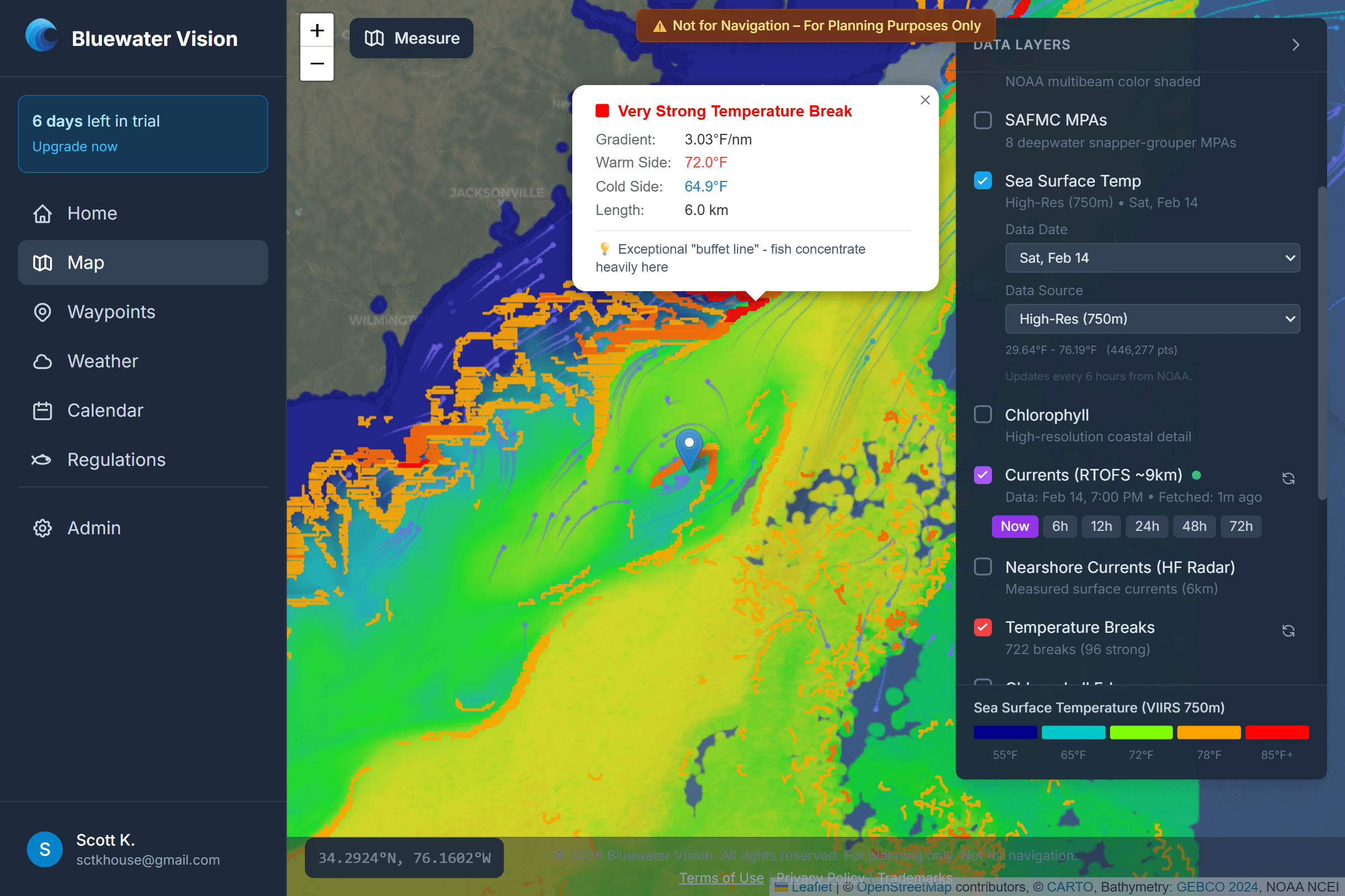
Sea-surface temperature map showing temperature breaks off the Carolina coast

Sea-surface temperature

Temperature breaks are where bait stacks and predators patrol. The map draws every edge so you can run straight to it instead of hunting for it on the sounder.

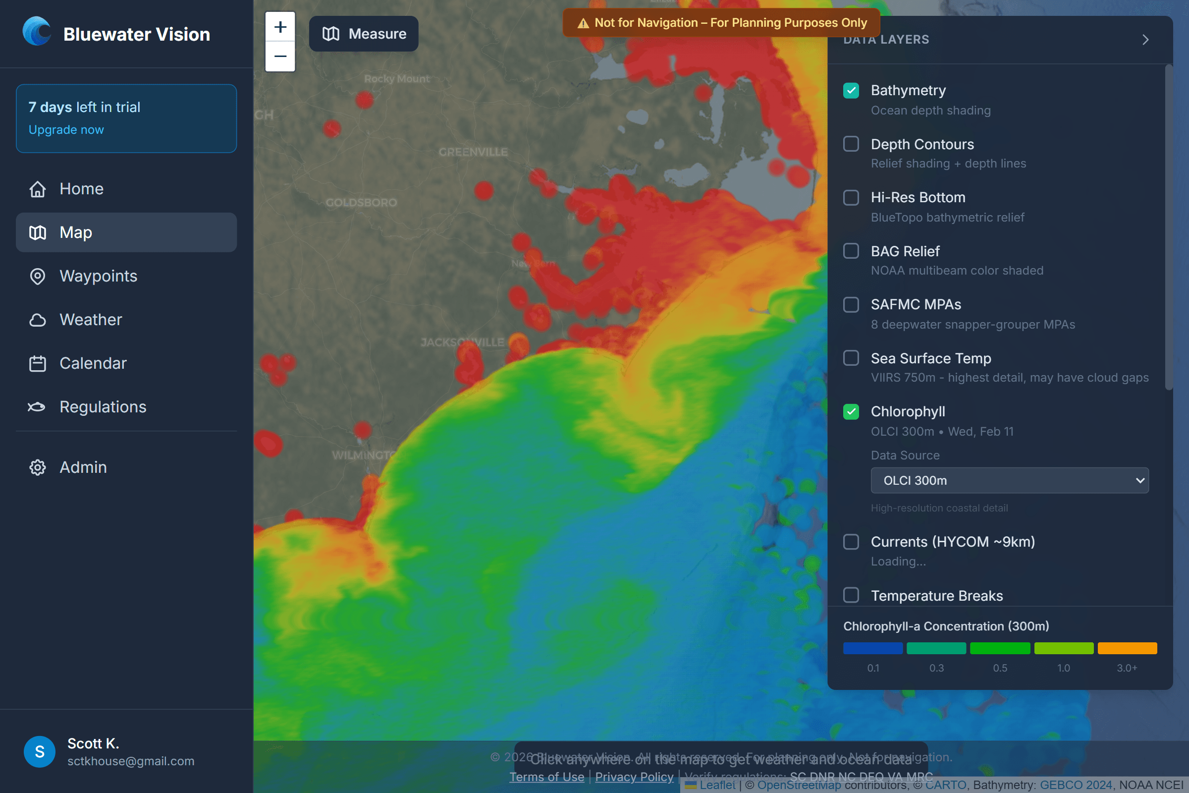
Chlorophyll concentration map for finding color changes

Chlorophyll & color changes

Blue water against green. Chlorophyll mapping finds the color change and the clean edge where the bait — and everything eating it — holds.

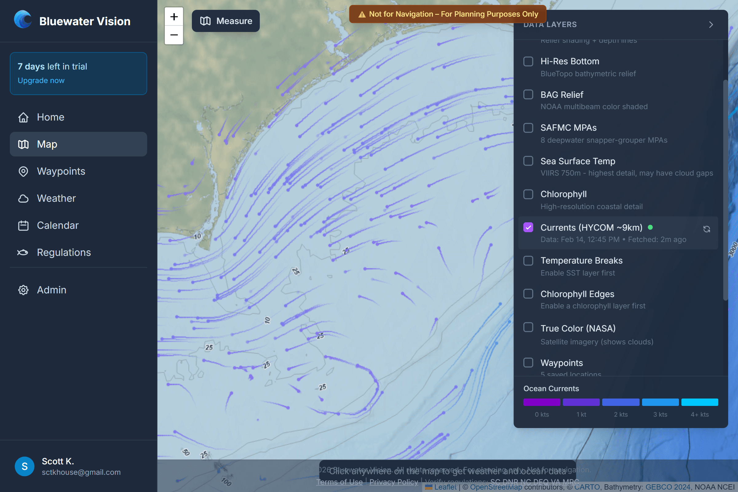
Animated ocean current visualization of the Gulf Stream

Currents & the Stream

Animated Gulf Stream and eddy currents, so you can see where moving water is stacking bait against structure — and what the ride home looks like.

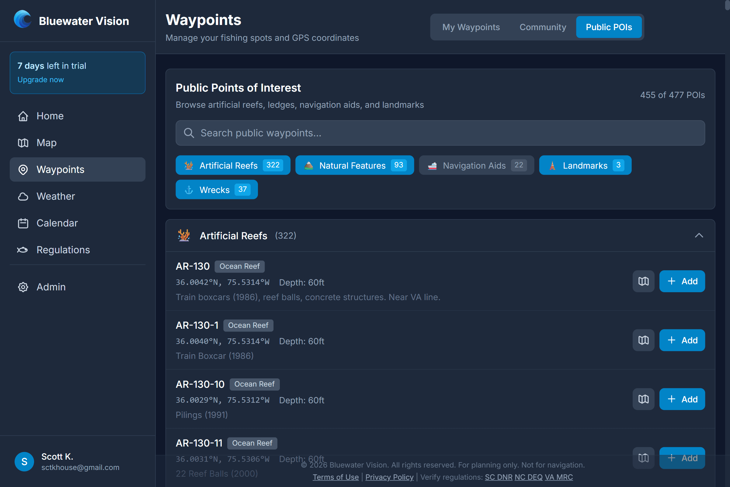
Waypoint management screen with saved offshore numbers
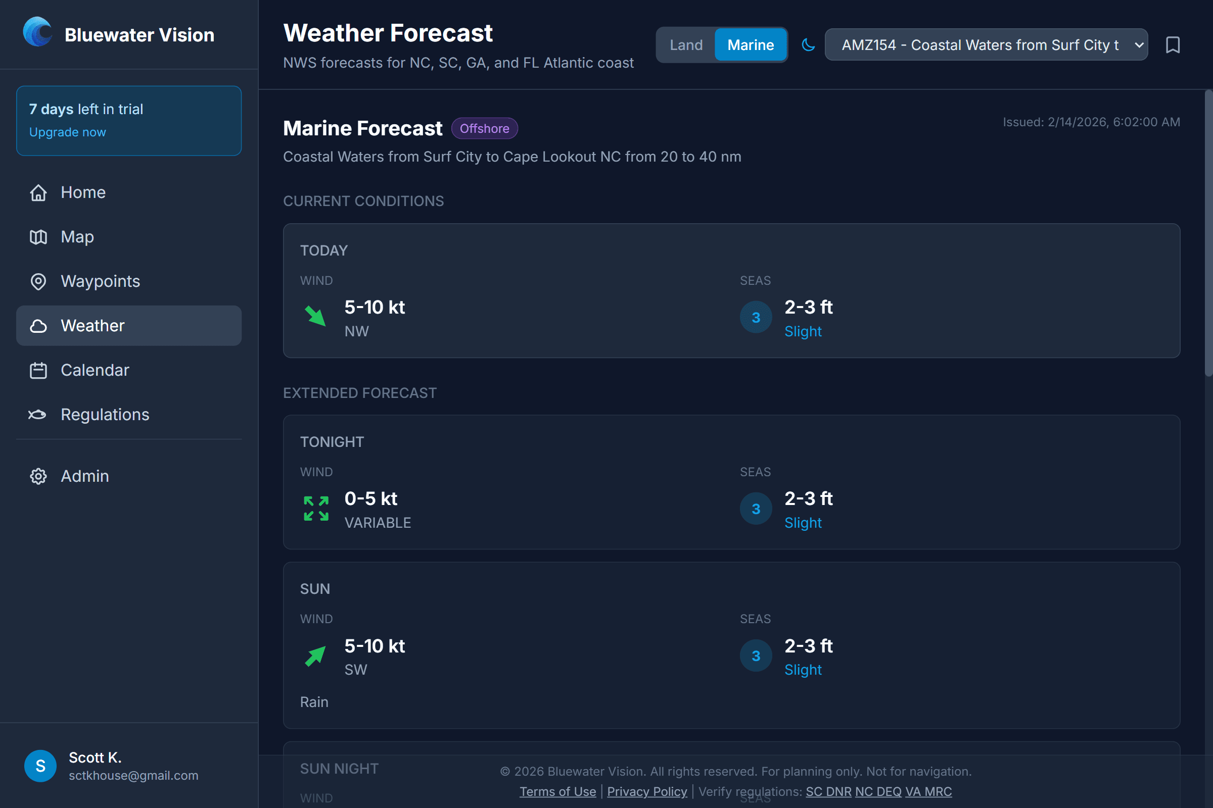
NWS marine weather forecast panel
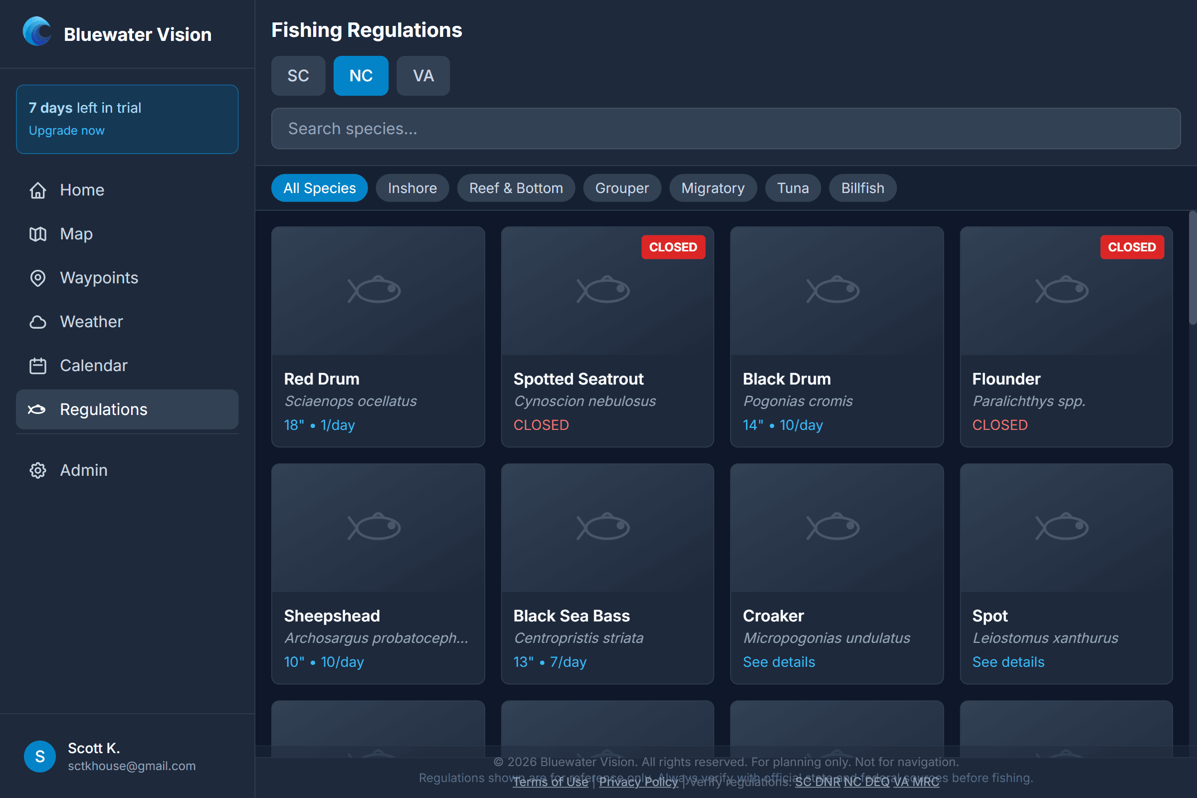
Fishing regulations lookup for SC, NC and VA species
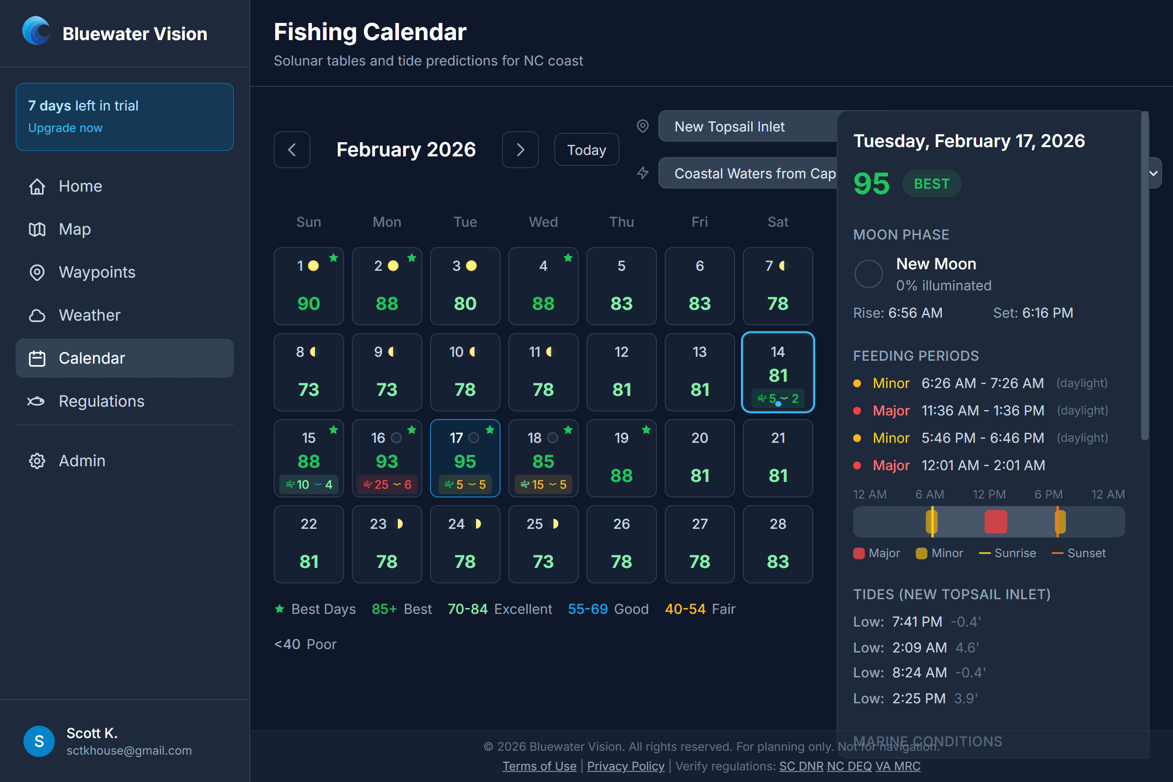
Solunar calendar with tides and best fishing times

GPS waypoints

Unlimited waypoints, exported as GPX for Garmin®, Simrad® and Raymarine® units.

Marine weather

NWS offshore forecasts and alerts for the waters you actually run.

Regulations

Season, size and bag for 40+ species across SC, NC and VA.

Solunar calendar

Best fishing times and tides, day by day.

Fishing groups

Share spots privately with your crew — nobody else sees your numbers.

Leave the dock
already knowing.

The demo is open right now — real ocean data around Wrightsville Beach, NC. No account. No card.

Pay as you fish

Cancel or pause anytime

30-day free trial · no credit card

$5.99/month

First month just $0.99. A full year runs $71.89. Only pay when you’re fishing — pause for the off-season.

The math is simple

One tank of fuel
~$300
One wasted trip
$300+
A year of Bluewater Vision
$71.89
Save one bad trip a year
You profit $228+
  • Daily offshore briefing (the Outlook)
  • Daily SST & chlorophyll data
  • Animated ocean currents
  • NWS marine weather
  • Unlimited waypoints
  • GPS export (GPX, Simrad®)
  • Fishing regulations (SC, NC, VA)
  • Private group sharing
  • Solunar calendar & tides

The fish are already out there.

Know which water they’re in before you cast off.